
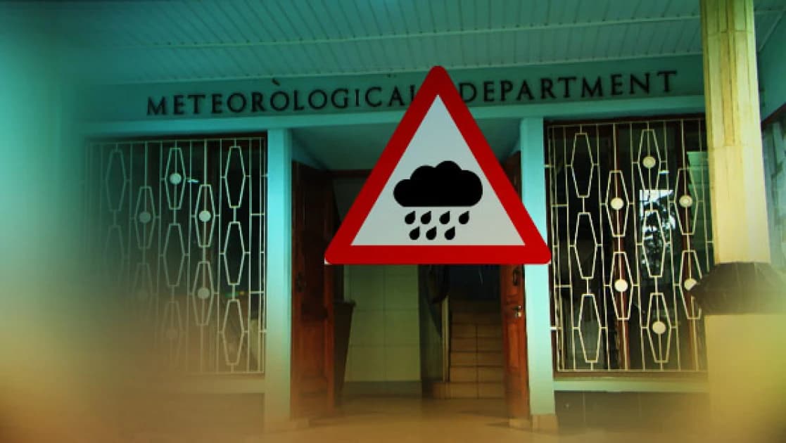
In a 24-hour rainfall forecast valid from 9am on Friday, October 30, to 9am on Saturday, October 31, the department projected rainfall across much of Nairobi County, with most areas expected to receive between 5mm and 20mm.
The forecast map showed varying rainfall distribution across the county, covering Westlands, Dagoretti North and South, Kibra, Lang'ata, Roysambu, Kasarani, Embakasi and Makadara, among other areas.
Some areas were projected to receive relatively higher amounts of rainfall, with isolated locations likely to record more than 20mm within the forecast period.
The department also warned of isolated thunderstorms and rainfall in parts of the Nairobi Metropolis, with some areas expected to receive more than 20mm within 24 hours.
Following the downpour, Kenyans took to social media platform X to share footage showing the effects of the rains in different parts of the capital.
Some users highlighted conditions along Uhuru Highway and other parts of Nairobi, showing how the rainfall had affected roads and movement.
The posts sparked conversations about the impact of the rains on commuters and motorists, as Nairobi residents shared their experiences of the wet weather.
The Met department had also shared about forecasted rains across the country, including Kwale, Mombasa, Kilifi, Tana River, Lamu, Garissa, Wajir, Mandera, Marsabit, Isiolo, Migori, Nyamira, Bungoma, Busia, Kakamega, Vihiga, West Pokot, Baringo, Elgeyo Marakwet, Trans Nzoia, Nandi, Uasin Gishu, Nakuru, Siaya, Kisumu, Homa Bay, Kisii, Kericho, Bomet, Kiambu, Embu, Murang’a, Kirinyaga, Nyandarua, Nyeri, Laikipia, Tharaka-Nithi, Meru, Narok, Kajiado, parts of; - Nairobi, TaitaTaveta, Kitui, Machakos and Makueni.


Comments
No comments yet. Be the first to share your thoughts.