

According to the weather outlook on September 11, Kenya Met stated that rainfall is expected at different times across several counties, while parts of northern and north-eastern Kenya are likely to remain hot and dry.
“Residents in the highlands east and west of the Rift Valley, the Lake Victoria Basin, the Rift Valley and parts of the Coast should expect occasional rainfall during the forecast period,” Kenya Met stated.
Rainfall in Nairobi and Other Parts of the Country
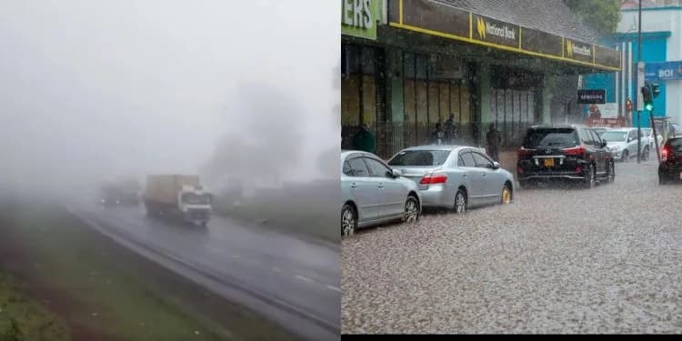
In Nairobi, Kenya Met forecasts cloudy conditions in the mornings followed by afternoon and night showers on some days during the forecast period.
Temperatures in the capital are expected to range between 12°C and 28°C, according to the weather agency.
Kenya Met also forecasts light rains and showers in parts of the Central Highlands, including Nyeri, Kirinyaga, Murang’a, Kiambu and areas of Nyandarua.
At the Coast, Kenya Met expects Mombasa, Kwale, Kilifi and Lamu to experience light showers on several days.
Taita Taveta is also forecast to receive occasional rainfall, particularly in the afternoons and at night, although daytime temperatures are expected to remain relatively high.
Several counties in the Rift Valley are also expected to receive rainfall during the five-day period, according to Kenya Met.
The affected counties include Nakuru, Narok, Laikipia, Uasin Gishu, Trans Nzoia, West Pokot, Nandi, Kericho and Bomet.
Kenya Met forecasts that some areas, particularly in the highlands, could experience moderate afternoon showers and thunderstorms.
In Western Kenya and the Lake Victoria Basin, the weather agency expects counties including Kakamega, Vihiga, Bungoma, Busia, Siaya, Kisumu, Homa Bay, Migori, Kisii and Nyamira to experience afternoon rains.
Some locations around the Lake Victoria Basin could receive moderate rainfall later in the day, Kenya Met said.
Parts of Eastern Kenya are also expected to receive rainfall, with Meru, Tharaka-Nithi, Embu and parts of Kitui likely to experience light showers.
However, Kenya Met forecasts that Machakos, Makueni and Isiolo will remain largely sunny and dry during most of the forecast period.
Northern and north-eastern counties, including Turkana, Marsabit, Samburu, Garissa, Wajir and Mandera, are forecast to remain generally hot and dry.
Kenya Met said isolated showers may occur in a few locations, while Mandera could record some of the highest temperatures in the country, with temperatures reaching up to 38°C.
Kenya Met Explains 2026 El Niño
The five-day rainfall forecast comes as Kenya prepares for the October-November-December (OND) rainy season, during which the country is expected to experience above-normal rainfall associated with the prevailing El Niño conditions.
Kenya Meteorological Service Principal Meteorologist Joyce Kimutai has said the 2026 El Niño is unlikely to produce rainfall on the scale recorded during the 1997 El Niño event.
In an interview on September 9, Kimutai said the current El Niño conditions are relatively weaker than those recorded in 1997, while the Indian Ocean is also not as warm as it was during the period when the two climate systems combined to produce exceptionally heavy rainfall in East Africa.
“What we’re seeing is it’s a relatively weaker index. So our Indian Ocean is not as hot or as warm as it was in 1997 yet. But even the forecasts are telling us that we will not get there,” she said.
Kimutai said the current conditions fall somewhere between those experienced during the 1997 and 2015 El Niño events.
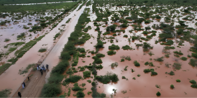
The 1997 El Niño brought heavy rainfall across East Africa after unusually warm ocean temperatures developed in both the Pacific Ocean and the western Indian Ocean.
By comparison, the 2015 El Niño was among the strongest on record but did not produce rainfall and flooding on the same scale as 1997 because the Indian Ocean did not warm in the same way.
Kimutai said the comparison shows why El Niño should not be treated as a direct synonym for rainfall.
Kimutai said El Niño occurs when winds over the Pacific Ocean weaken, causing warmer-than-normal ocean temperatures that influence weather patterns in many parts of the world.
The resulting changes in atmospheric conditions can influence weather patterns in different parts of the world, with some regions experiencing increased rainfall while others face drought.
Follow our WhatsApp Channel and X Account for real-time news updates.


Comments
No comments yet. Be the first to share your thoughts.